EXPERIENCE THE

FANTASTIC GR-ROUTES

SEE MORE BELOW

Discover the amazing GR routes

Grande Randonnée, Gran Recorrido or Long Distance Hiking Trail - they go by many names, but together they are known as the GR routes - a huge hiking trail system criss-crossing Europe. There are over 100,000km of hiking trails that take you through big and small towns, impressive mountain landscapes, almond groves and vineyards, depending on which route you choose to take. The routes are characterised along the way by being marked with a white stripe over a red stripe, which can appear in different variations depending on what they symbolise. If they are one way, you need to change direction, and if they are another way, you've taken a wrong turn. This is important to familiarise yourself with before setting off on one of the many routes.

Unique hiking routes

All GR routes have a unique number - from the GR1 in France to the GR579 in Belgium, which connects the capital Brussels with Liège in eastern Belgium close to the border with Germany. There's also the 252km GR70, which runs down through France, starting in Le Puy-en-Velay and ending in Alés. The route is also known as Chemin de Stevenson or The Robert Louis Steveson Trail after the Scottish author of the same name, best known for Treasure Island, who walked the route in 1878 with his donkey Modestine. It was on this trip that he was inspired to write his novel Travels with a donkey in the Cévennes. There's also the GR5 Nord, one of the oldest of the routes. The route is 650km long and starts in the Netherlands. It then travels through Belgium and down to France, where it ends on the Mediterranean coast. Along the way, you'll pass the impressive Alps.

GR10 - magnificent trip from the Atlantic to the Mediterranean

Another legendary route is the GR10, which runs all the way across the Pyrenees from the Atlantic Ocean to the Mediterranean - a whopping 850 kilometres. It's a fantastic route that takes you through marvellous high mountain areas, through deep valleys, mountain villages, along lakes and over mountain peaks. We've divided it into eight sections, so you don't have to walk all 850km if you just want a taste of what the GR10 can do.

We have divided the eight sections of the GR10 as follows:

    Section 1: Hendaye to St. Jean Pied de Port (7 days/6 nights - 99km of walking)
    Section 2: St. Jean Pied de Port to Etsaut (7 days/6 nights - 120km of walking)
    Section 3: Etsaut to Cauterets (7 days/6 nights - 81km of walking)
    Section 4: Cauterets to Luchon (7 days/6 nights - 115km walking)
    Section 5: Luchon to Aulus les Bains (7 days/6 nights - 134km walking)
    Section 6: Aulus les Bains to Mérens (7 days/6 nights - 89km walking)
    Section 7: Mérens to Vernet les Bains (7 days/6 nights - 85km walking)
    Section 8: Vernet les Bains to Banyuls sur Mer (7 days/6 nights - 109km walking)

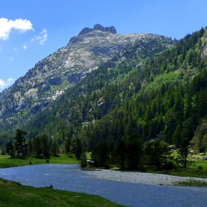
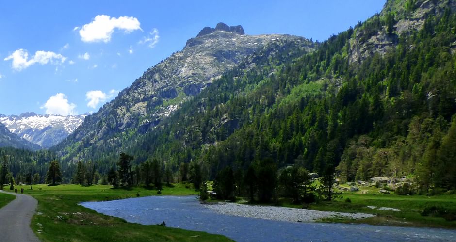
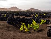
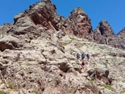
You're guaranteed amazing experiences no matter which sections you choose to walk. Section 3, for example, takes you through the Pyrenees National Park, which was established back in 1967. You'll also walk along the famous Chemin de la Mâture, a 1200 metre long path carved out of the cliff and running 200 metres above the Gave d'Aspe river. On Section 6, you'll hike from Aulus-les-bains to Mérens in Haute Ariége. This region is known for its high plateaus and deep valleys surrounded by high peaks, sometimes covered in snow, and mountain lakes in changing colours. Section 8, the final section, is particularly exciting for nature lovers because the plant and animal life is so varied on this particular part of the route. Here you'll also pass the Canigou massif, which you can choose to walk around or take on the challenge of walking over it.   

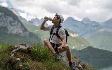
All sections of the GR10 have a difficulty level of 3-4. These are true mountain hikes on good ladders. To enjoy the hike, we recommend that you are in good shape and preferably have experience hiking in the mountains. It is necessary to have hiking boots and preferably walking poles.

See all our GR10 routes here

Beautiful GR221 in Mallorca

In Mallorca you have the opportunity to hike the beautiful GR221. Here you can enjoy 150 kilometres of hiking along dry stone walls, with views to and from Mallorca's impressive alpine-like mountain range Serra De Tramuntana, which is also a UNESCO World Heritage Site. Here you can also see Mallorca's highest mountain reflected in the surface of one of the reservoirs. You'll pass through the orange valley of Sóller, which, in addition to the delicious citrus fruits, is also known for its beauty and charm, with the breathtaking mountains on the horizon creating the perfect backdrop to the cosy and ancient streets. The tour ends in the beautiful coastal town of Port d'Andratx, which is filled with delicious restaurants and exclusive shops.

The hike is level 2-3 and some of the route follows relatively rocky passages and paths. Therefore, a good basic level of fitness is required and sure footing is a prerequisite.

See the GR221 in Mallorca here

Le Geria on the GR131

You can also walk along the GR131 on Lanzarote and La Graciosa, where you'll pass the spectacular La Geria vineyards, which with their cone-shaped depression several metres into the volcanic gravel, create flavourful white and dessert wines. It's often windy in Lanzarote, so the depressions in the volcanic soil help to protect the vines from the wind. The greener vines against the dark volcanic soil creates a landscape that is unique to Lanzarote. The tour also takes you past the beautiful sculpture 'Monumento al Campesino' in San Bartolomé. This 15 metre high fertility sculpture was built from disused water tanks and is dedicated to the conejero farmers who worked hard to produce crops in Lanzarote's volcanic soil. The walk ends with a ferry ride to the small island of La Graciosa, where the route takes you through sand dunes and past beautiful views of the stunning coastline.

The hike is level 2 and some of the route follows relatively rocky passages and paths. Therefore, a good basic level of fitness is required.

See the GR131 in Lanzarote and La Graciosa here

Impressive mountain landscapes on the GR20

Of course, you also have the option of walking the legendary GR20 in Corsica. Here you walk along the mountain range across Corsica, making the GR20 one of the most beautiful of the GR routes. You'll experience iconic peaks with magnificent views. You'll hike along the beautiful ridge of Monte Alcudina, at 2134 metres above sea level, and across wide open spaces with small streams and ponds. At the end of the walk you'll pass the small but beautiful Lac de la Muvrella, where you'll have an excellent view of the Bay of Calvi. And while the small lake may seem inviting after many days of hiking, it's not for swimming.


The GR20 is a very challenging hike, walking 6-9 hours a day - sometimes longer. It is therefore important to be in good shape and have experience with hiking and trekking.

Se the GR20 in Corsica here

;

Contact us

We are available every day from 9am - 4pm (EST+1)

Phone UK: +44 203 936 1208
Mail: [email protected]

Members

Atta Logo Horisontalt

;

×Get our Newsletter

We write about active holidays, contests and good travel tips

Contact us ×

You are more than welcome to contact us if you have questions about anything.

Phone: +44 20 3936 1208
Mail: [email protected]

View opening hours